Xploration date 18/09/2016
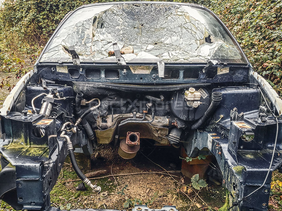
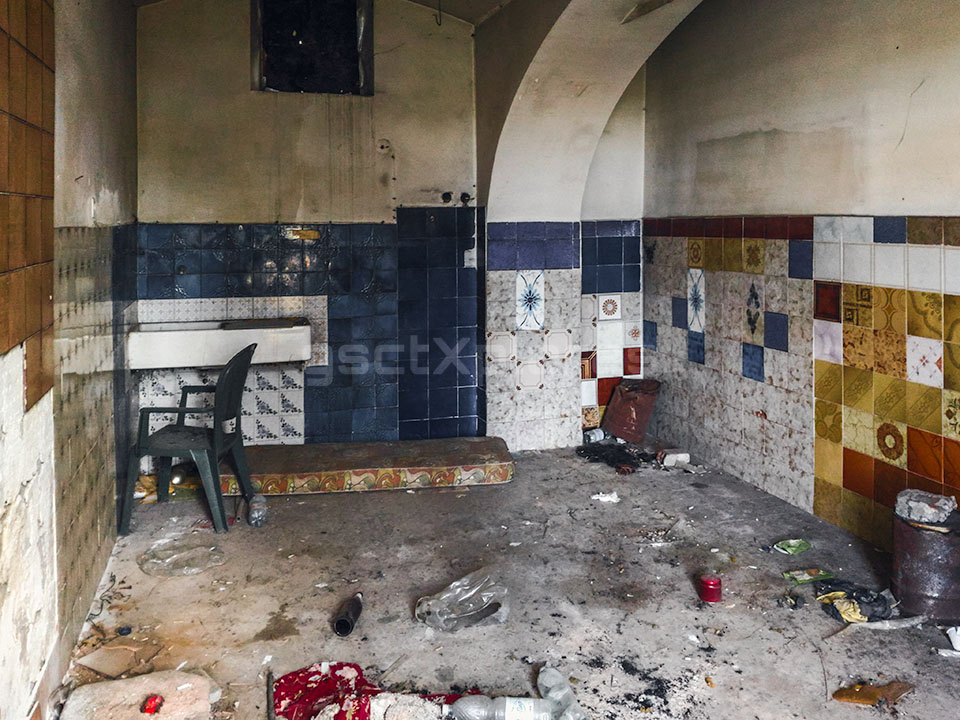
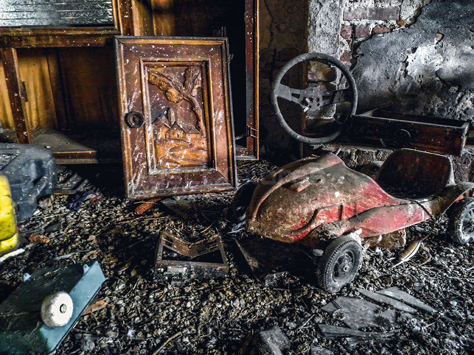
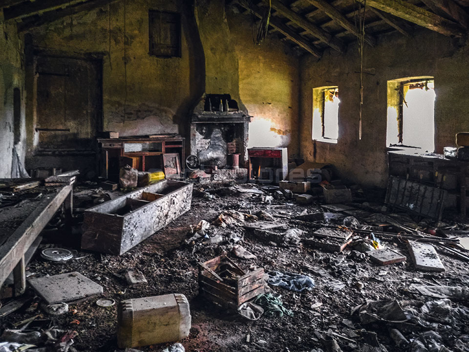
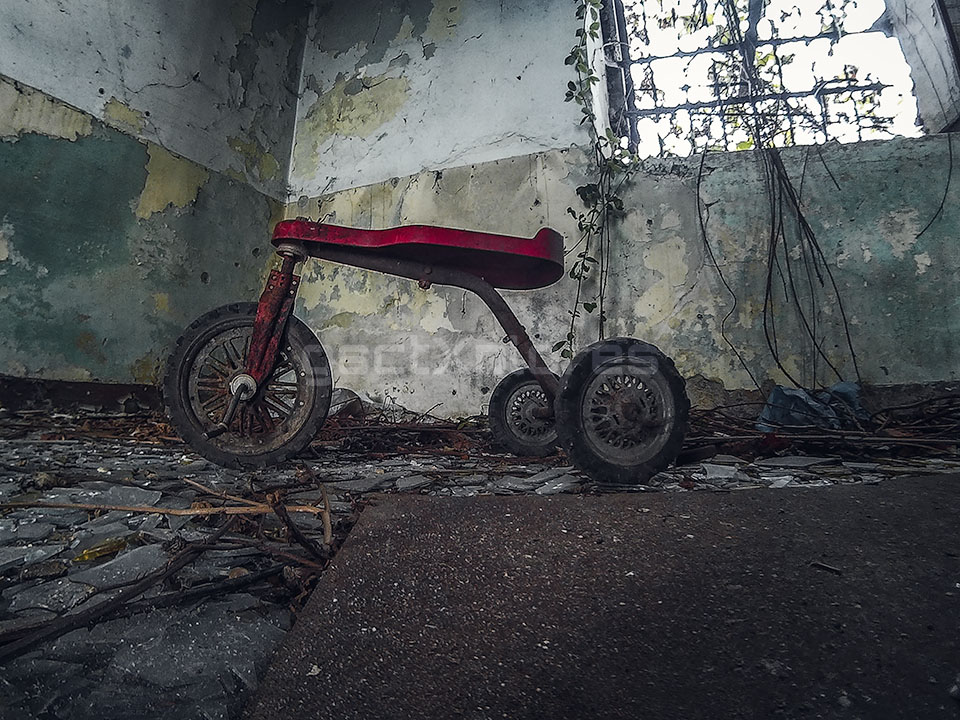
A protected 16th century farmhouse, already noteworthy in Napoleonic times, fell into disrepair and into the hands of gutter punks, car scrappers and copper thieves. The following text is sourced and adapted from museotorino.it.
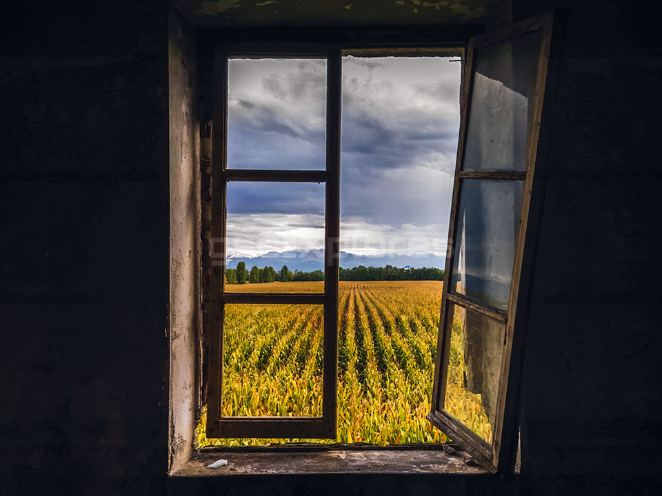
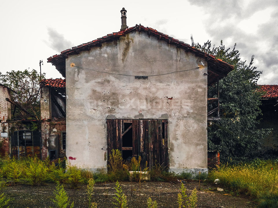
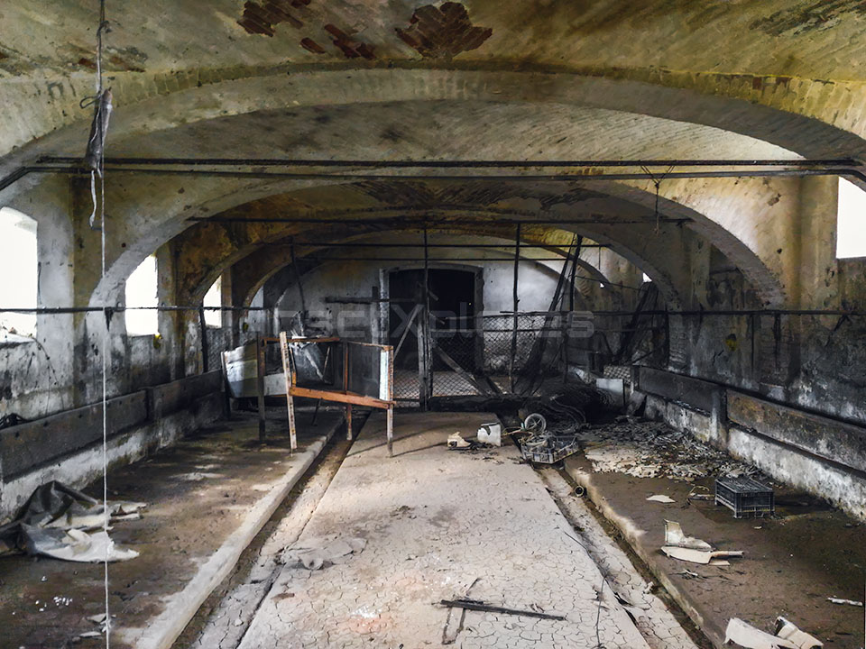
The Cabianca farm is situated along the north ring road of the Italian city of Turin, bordering the city and comprising residential and farm buildings arranged around two courtyards that have since merged into a single large courtyard. Despite being abandoned and partially looted, several structures remain recognizable, including a three-story building, barns, stables, and storage areas for agricultural tools and products. The entrance was once marked by an ornate brick gateway near the boundary between the cities of Turin and Caselle. Inside the main courtyard, a raised area known as the “rose garden” existed until 1929, serving as a decorative garden for the last Countess of Sant’Albino, with historical references dating back to at least 1820.

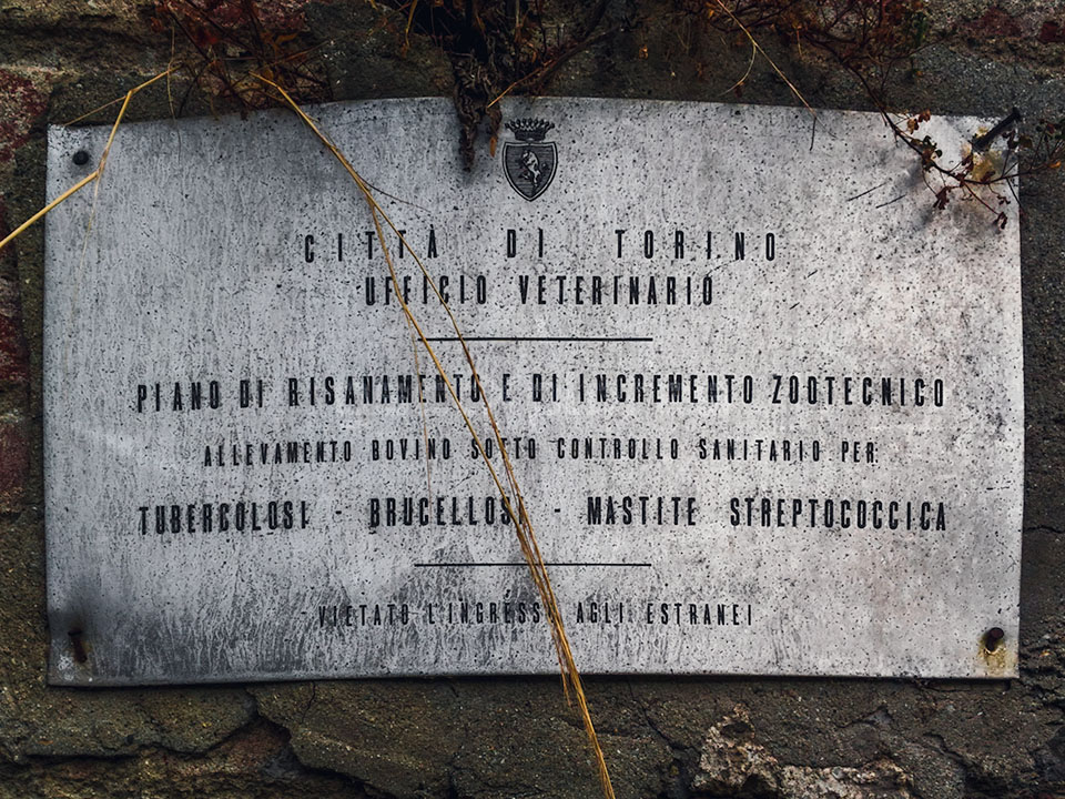
Historically, the property was owned by the Righini family, Counts of Sant’Albino, from the late 1700s until 1929 when it was donated to the Turin Charity Hospital. During World War II, the hospital was bombed, and the elderly residents were relocated to the farm, leading to the addition of interior walls that still divide the rooms today. Amedeo Grossi, in 1790, documented the farm as belonging to the Righini brothers, describing it as a “white house” with farm buildings, situated along a road boundary with a chapel dedicated to Saint Joseph. Grossi’s account also confirms that the border between Turin and Borgaro ran through the farm, a fact supported by various historical documents showing the site’s changing boundaries over the centuries.
The earliest known record of Cabianca dates back to 1523, when it was listed among properties owned by Antonio Ranotti. By 1532, the farm was described more fully, with the name Casa Bianca originating from the “white house” at its core. Over the centuries, the farm was enclosed within a courtyard, and maps from the early 19th century, including the Napoleonic Land Registry of 1804 and a 1816 royal hunting grounds map, depict a stable and consistent layout. A 1820 land registry describes the farm as “Ca’ Bianca of the Countess of Sant’Albino,” noting a stream that created an arched shape near the entrance, which remains visible from aerial photographs. The registry also records the presence of a main house, a church (demolished in the 1980s), and surrounding farmland.

Subsequent maps from 1866 and 1974 reveal modifications to the farm’s layout, including the construction of dividing walls and the eventual destruction of the church during road development. The 1866 map shows a wall separating the noble residence from the farm area, which was later re-merged into one large courtyard. The 1974 map confirms the farm’s layout before parts of it were marked for demolition due to the construction of the North Ring Road, which ultimately led to significant structural losses, including the church and surrounding agricultural features. Despite these changes, the rural western area of the farm remains visible today, preserving a fragment of its historical rural character amidst urban development.
Please find below the complete image collection.